
Our routes follow the Sunday ride categories.
Short routes are shorter versions of the Long routes, intended for social riders, while Long routes suit intermediate riders. These labels describe the ride options rather than fixed distances.
Reverse routes follow an existing route in the opposite direction.
Long Plus routes are extended versions of the Long rides.
Show: All routes | Short | Long | Reverse | Longer plus
Sort by: Name (A to Z) | Distance (shortest) | Distance (longest) | Most climbing | Newest
-
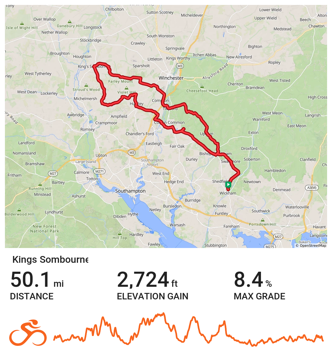
Kings Sombourne
Westerly route heading out through Upham, Twyford and Compton before turning at Kings Sombourne and returning to Wickham via Hursley, Otterbourne and Bishops Waltham,
Distance 50.1 miles Elevation 2,724 ft Route View the route Category Long Risk assessment Download risk assessment (PDF, 24 KB)
-
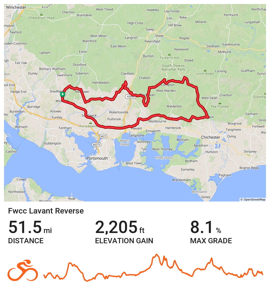
FWCC Lavant_Reverse
Eastern route to Lavant via Havant
Distance 51.5 miles Elevation 2,205 ft Route View the route Category Reverse Risk assessment Download risk assessment (PDF, 24 KB)
-
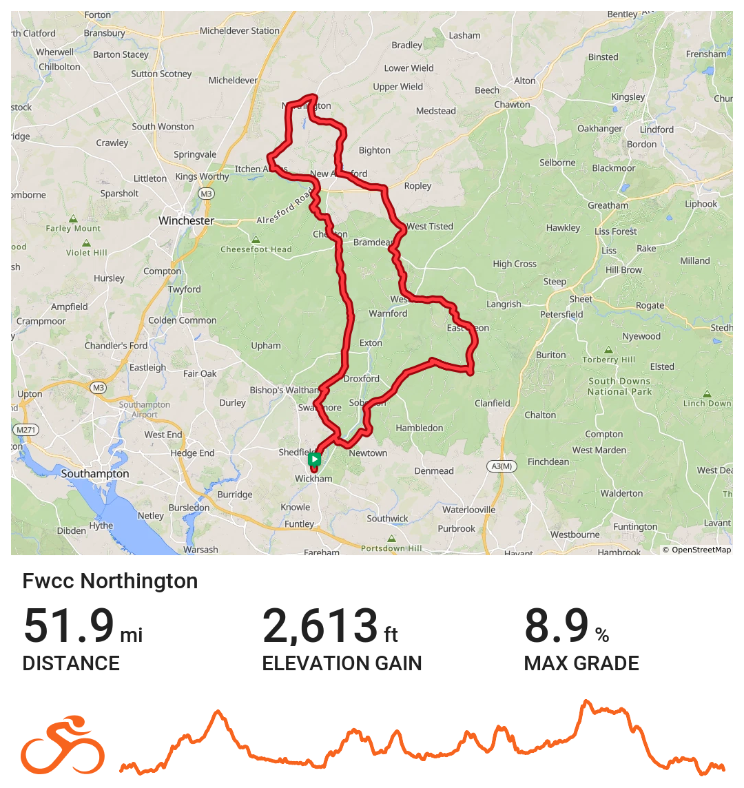
Northington
Northerly route from Wickham circling out and back to New Alresford before continuing on to the Meons and the Sustainability Centre for coffee. The route then returns to Wickham via Soberton.
Distance 51.9 miles Elevation 2,613 ft Route View the route Category Long Risk assessment Download risk assessment (PDF, 24 KB)
-
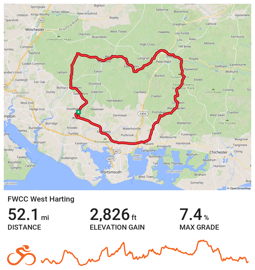
FWCC West Harting
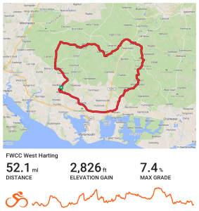
An easterly route.
Distance 52.1 miles Elevation 2,826 ft Route View the route Category Long Risk assessment Download risk assessment (PDF, 26 KB)
-
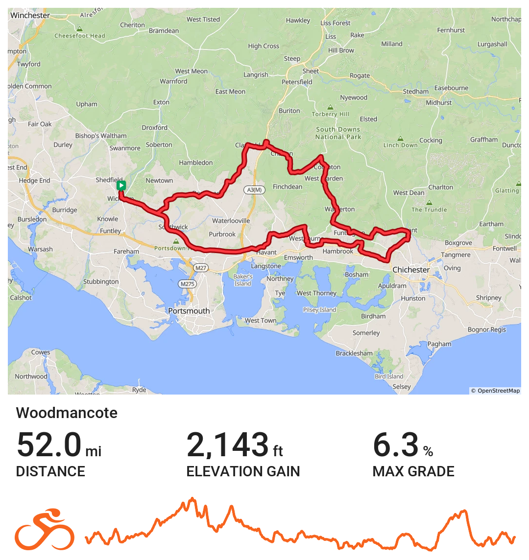
FWCC Woodmancote
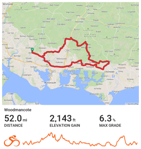
Route heads NE via Denmead & Clanfield before heading E towards Chalton, West Marden, Funtington, West Stoke & Lavant. Route then heads S for a short period before turning W and passing West Ashling before coffee at The Woodmancote Pub. Route returns to Wickham via Westbourne, Bedhampton and Portsdown Hill.
Distance 52 miles Elevation 2142 ft Route View the route Category Long Risk assessment Download risk assessment (PDF, 24 KB)
-
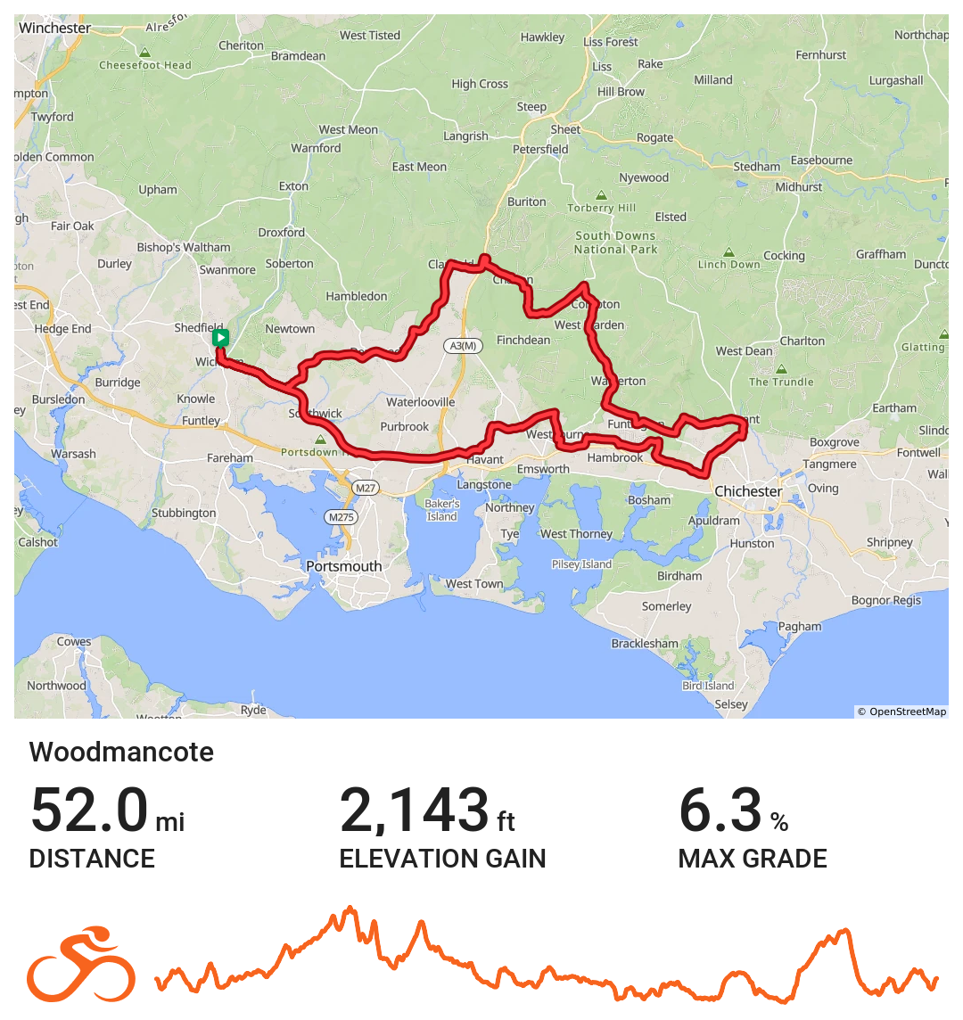
Woodmancote
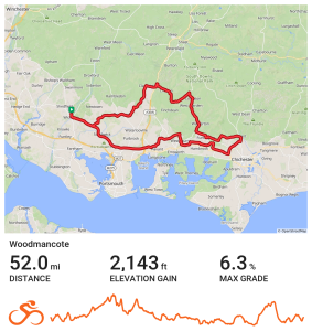
This route travels to the East with a coffee stop at the Woodmancote Pub.
Distance 52 miles Elevation 2,143 ft Route View the route Category Long Risk assessment Download risk assessment (PDF, 24 KB)
-
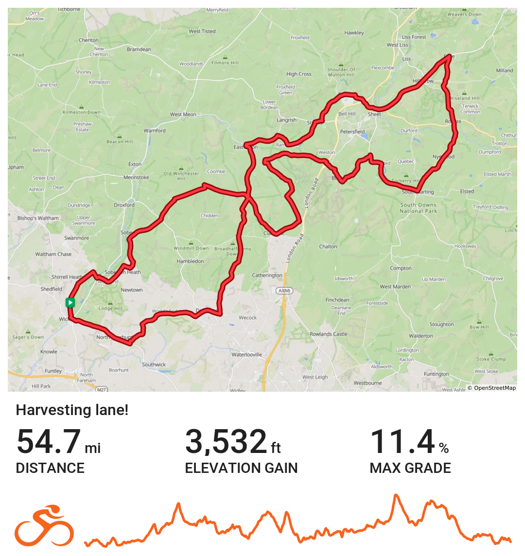
FWCC Harvesting Lane
North easterly route heading out via Denmead, The Bat and Ball, East Meon, Stroud and Steep before turning at Rake. From here the route goes via Rogate, Buriton, Ramsdean and Clanfield before taking a well earned break at the Sustainability Centre for coffee. From here the route returns to Wickham via Soberton.
Distance 54.7 miles Elevation 3,532 ft Route View the route Category Long Risk assessment Download risk assessment (PDF, 25 KB)
-
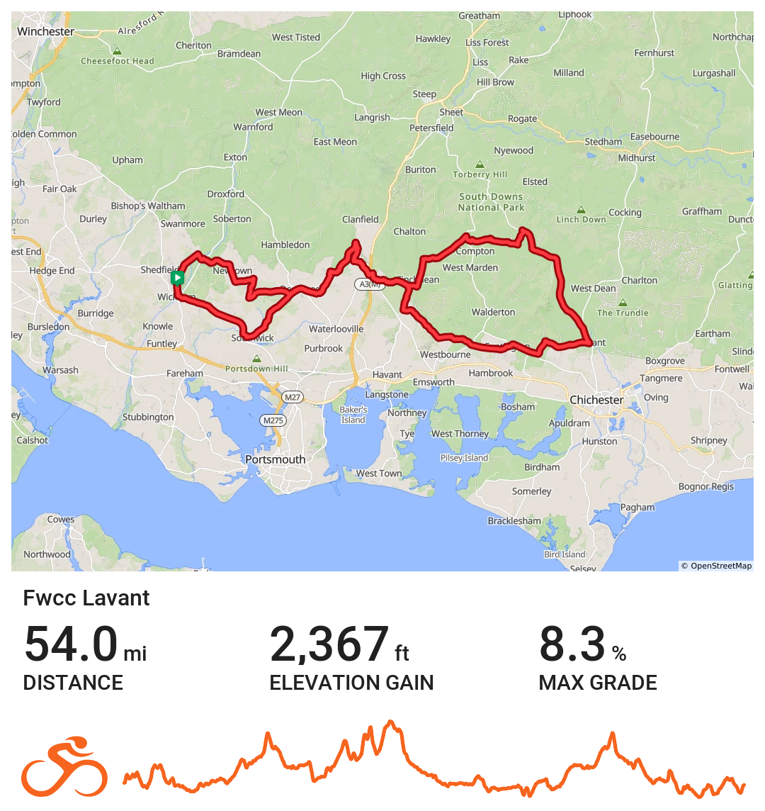
FWCC Lavant
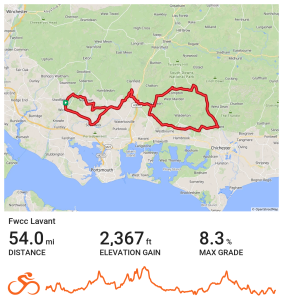
Easterly route with a double loop. Initially the route heads to Denmead via Soberton/Newtown before heading to Horndean and then Finchdean. From here the route heads in a northerly direction to Chilgrove before heading down to Lavant before turning back towards Rowlands Castle and Horndean. From here the route heads back to Denmead, Southwick and finally Wickham,
Distance 54.0 miles Elevation 2,367 ft Route View the route Category Long Risk assessment Download risk assessment (PDF, 24 KB)
-
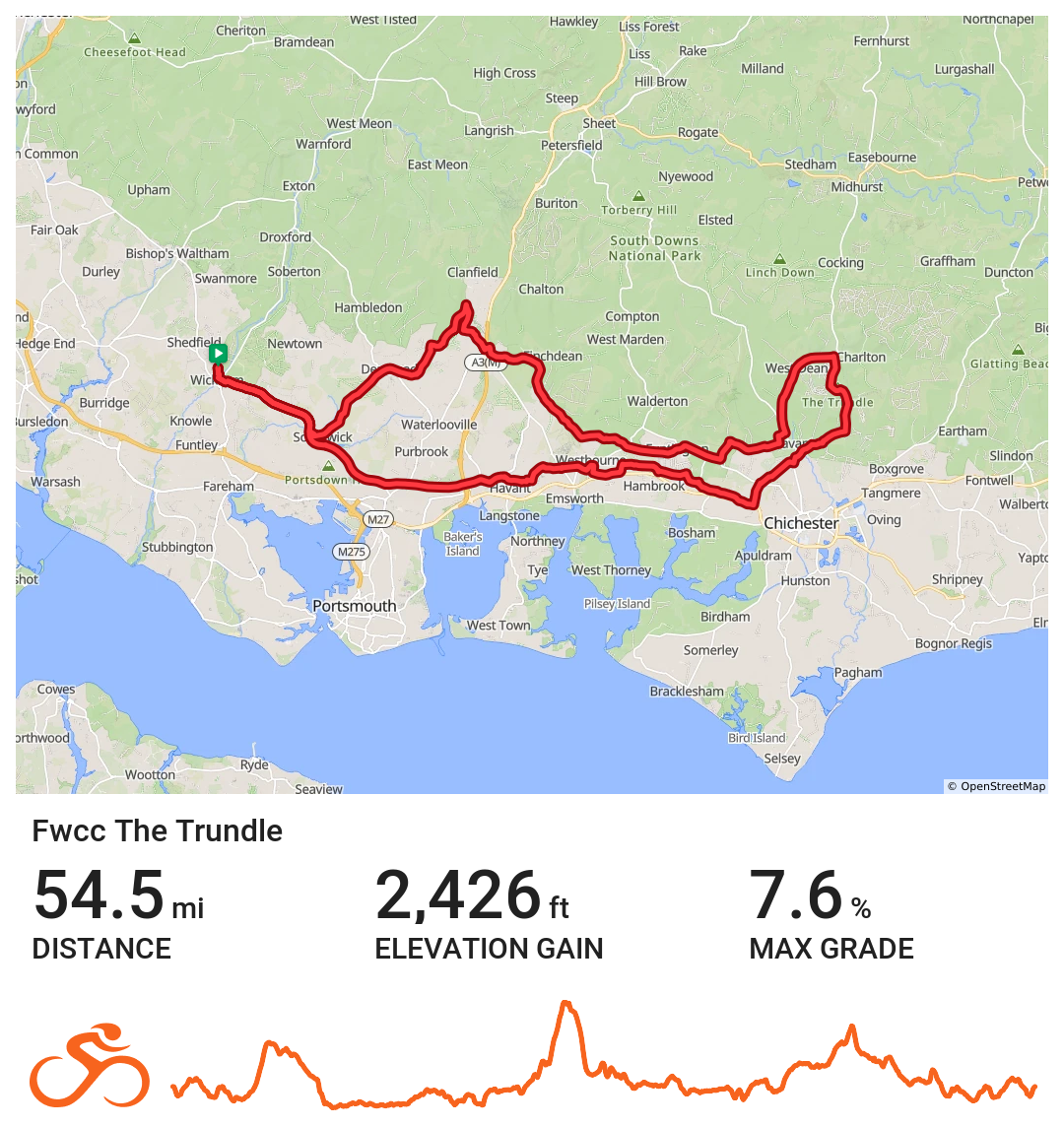
FWCC The Trundle
An easterly route via Fishbourne and then The Trundle before returning to Wickham via Rowlands Castle and Southwick
Distance 54.5 miles Elevation 2,426 ft Route View the route Category Long Risk assessment Download risk assessment (PDF, 25 KB)
-
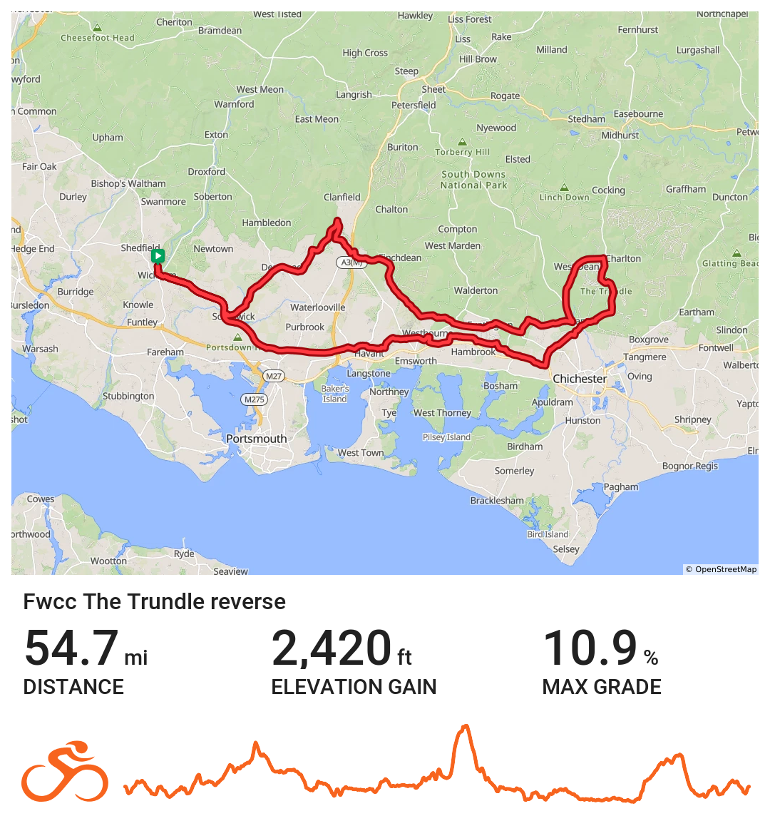
FWCC The_Trundle_Reverse
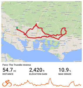
Eastern route to The Trundle via Denmead
Distance 54.7 miles Elevation 2,420 ft Route View the route Category Reverse Risk assessment Download risk assessment (PDF, 25 KB)