
Our routes follow the Sunday ride categories.
Short routes are shorter versions of the Long routes, intended for social riders, while Long routes suit intermediate riders. These labels describe the ride options rather than fixed distances.
Reverse routes follow an existing route in the opposite direction.
Long Plus routes are extended versions of the Long rides.
Show: All routes | Short | Long | Reverse | Longer plus
Sort by: Name (A to Z) | Distance (shortest) | Distance (longest) | Most climbing | Newest
-
FWCC The_Candovers_Reverse
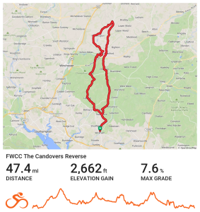
A Northern route to The Candovers via Cheriton.
Distance 47.4 miles Elevation 2,662 ft Route View the route Category Reverse Risk assessment Download risk assessment (PDF, 26 KB)
-
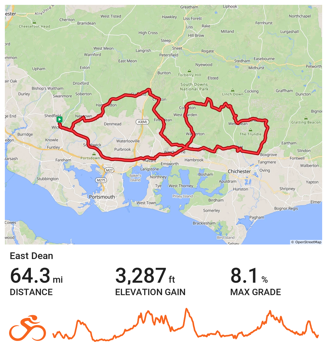
FWCC East_Dean
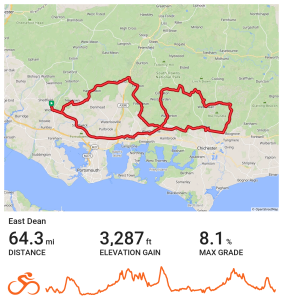
Eastern route to East Dean via Havant
Distance 64.3 miles Elevation 3,247 ft Route View the route Category Longer plus Risk assessment Download risk assessment (PDF, 25 KB)
-
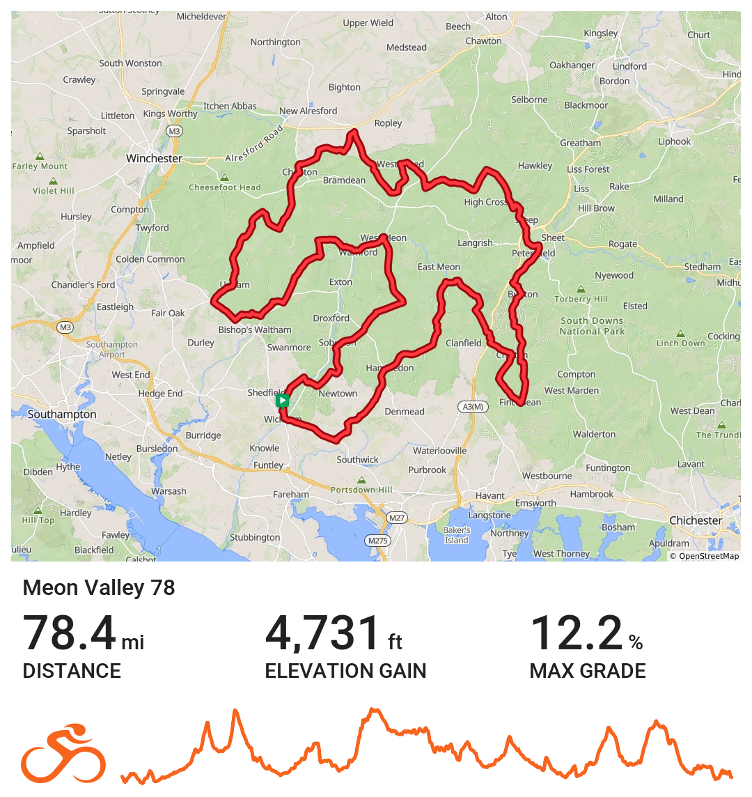
FWCC Meon_Valley_78
Eastern route via Rowlands Castle around the South Downs
Distance 78.4 miles Elevation 4,731 ft Route View the route Category Longer plus Risk assessment Download risk assessment (PDF, 25 KB)
-
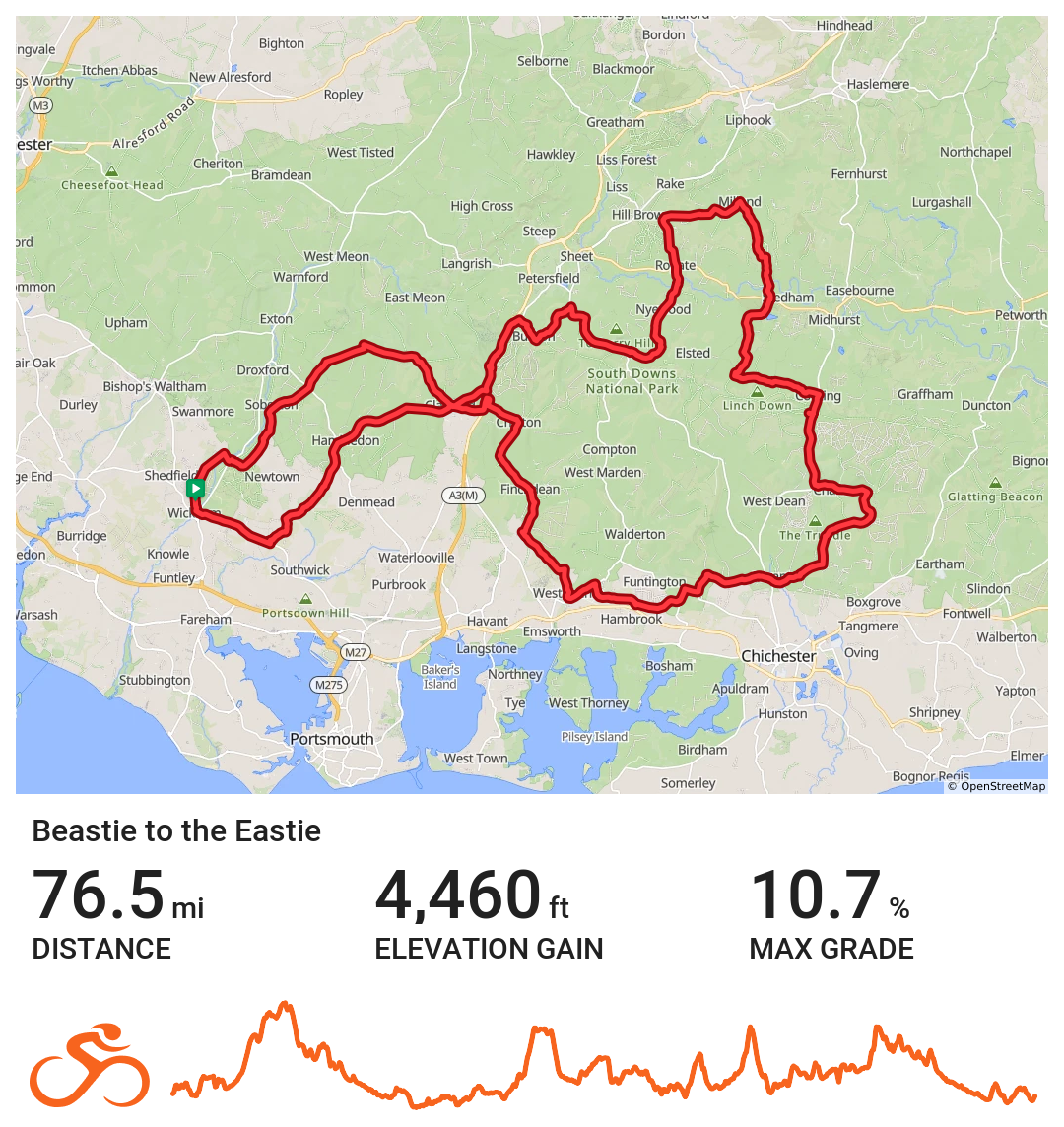
FWCC Beastie_to_the_Eastie
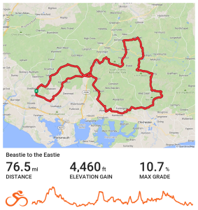
Eastern route via Lavant
Distance 76.5 miles Elevation 4,460 ft Route View the route Category Longer plus Risk assessment Download risk assessment (PDF, 24 KB)
-
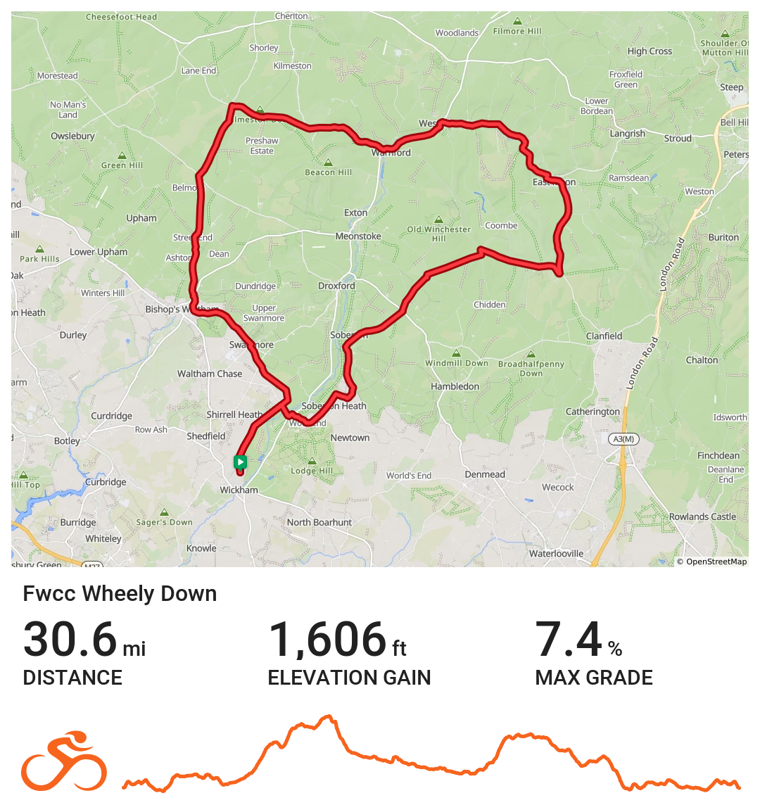
FWCC Wheely_Down
Eastern route via Soberton and the Meons
Distance 30.6 miles Elevation 1,606 ft Route View the route Category Short Risk assessment Download risk assessment (PDF, 24 KB)
-
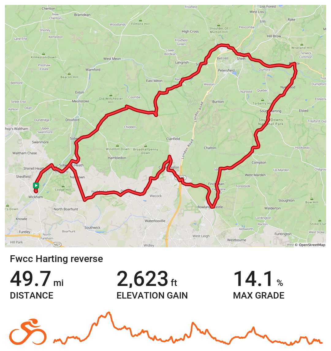
FWCC Harting_Reverse
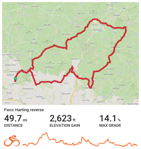
Eastern route to Harting via East Meon
Distance 49.7 miles Elevation 2,623 ft Route View the route Category Reverse Risk assessment Download risk assessment (PDF, 24 KB)
-
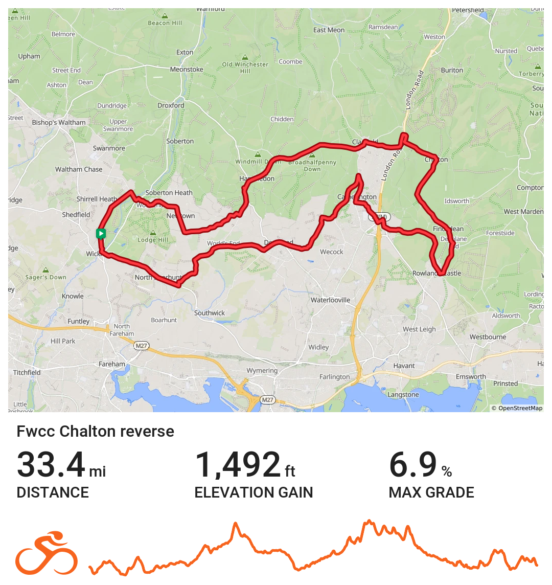
FWCC Chalton_Reverse
Easterly route to Chalton via Rowlands Castle
Distance 33.4 miles Elevation 1,492 ft Route View the route Category Reverse
-
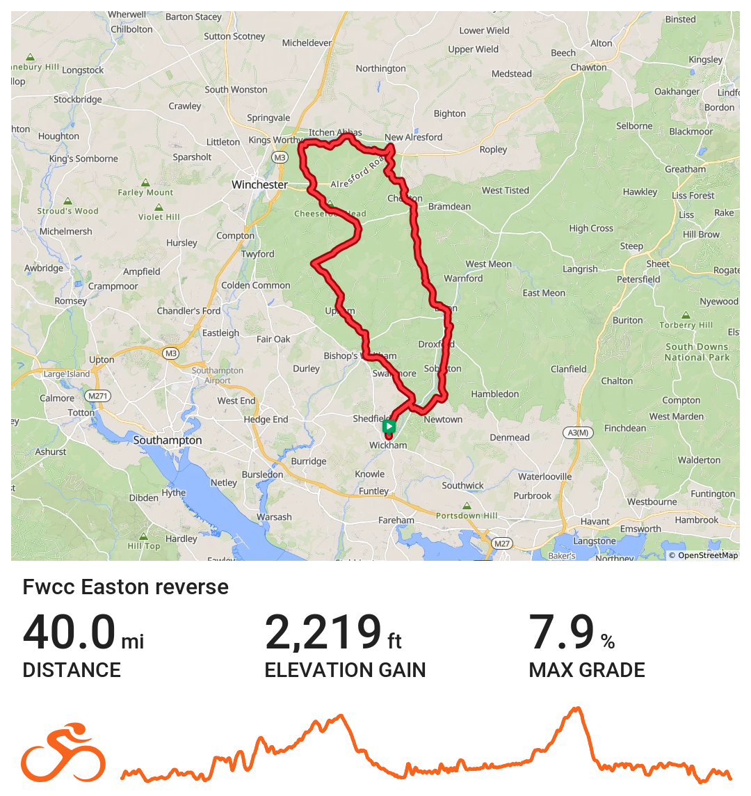
FWCC Easton_Reverse
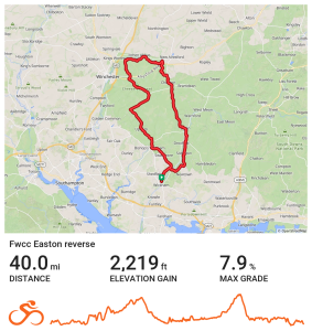
Northern route to Easton via Bishops Waltham
Distance 40.0 miles Elevation 2,219 ft Route View the route Category Reverse
-
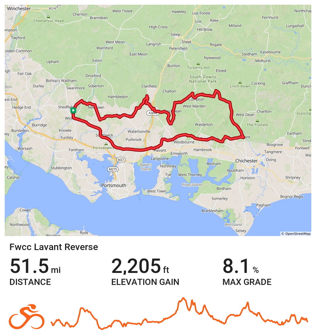
FWCC Lavant_Reverse
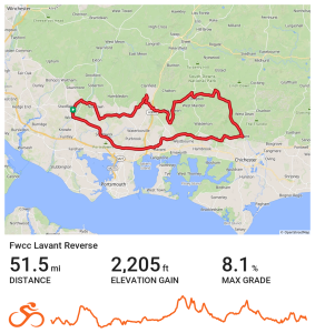
Eastern route to Lavant via Havant
Distance 51.5 miles Elevation 2,205 ft Route View the route Category Reverse Risk assessment Download risk assessment (PDF, 24 KB)
-
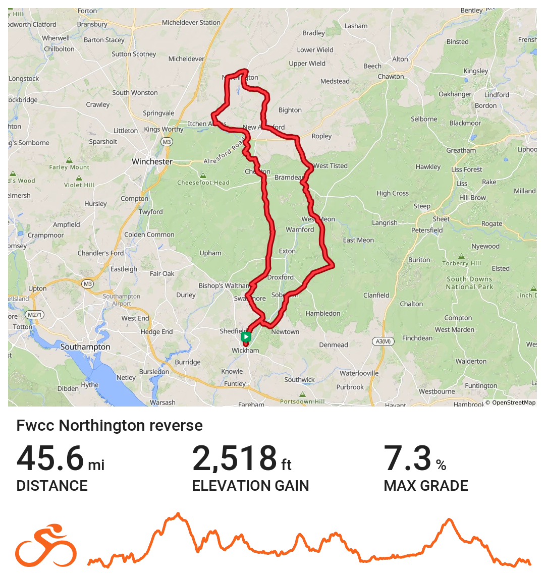
FWCC Northington_Reverse
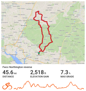
Northern route via Soberton
Distance 45.6 miles Elevation 2,518 ft Route View the route Category Reverse Risk assessment Download risk assessment (PDF, 24 KB)