

Our routes follow the Sunday ride categories.
Short routes are shorter versions of the Long routes, intended for social riders, while Long routes suit intermediate riders. These labels describe the ride options rather than fixed distances.
Reverse routes follow an existing route in the opposite direction.
Long Plus routes are extended versions of the Long rides.
Show: All routes | Short | Long | Reverse | Longer plus
Sort by: Name (A to Z) | Distance (shortest) | Distance (longest) | Most climbing | Newest
-
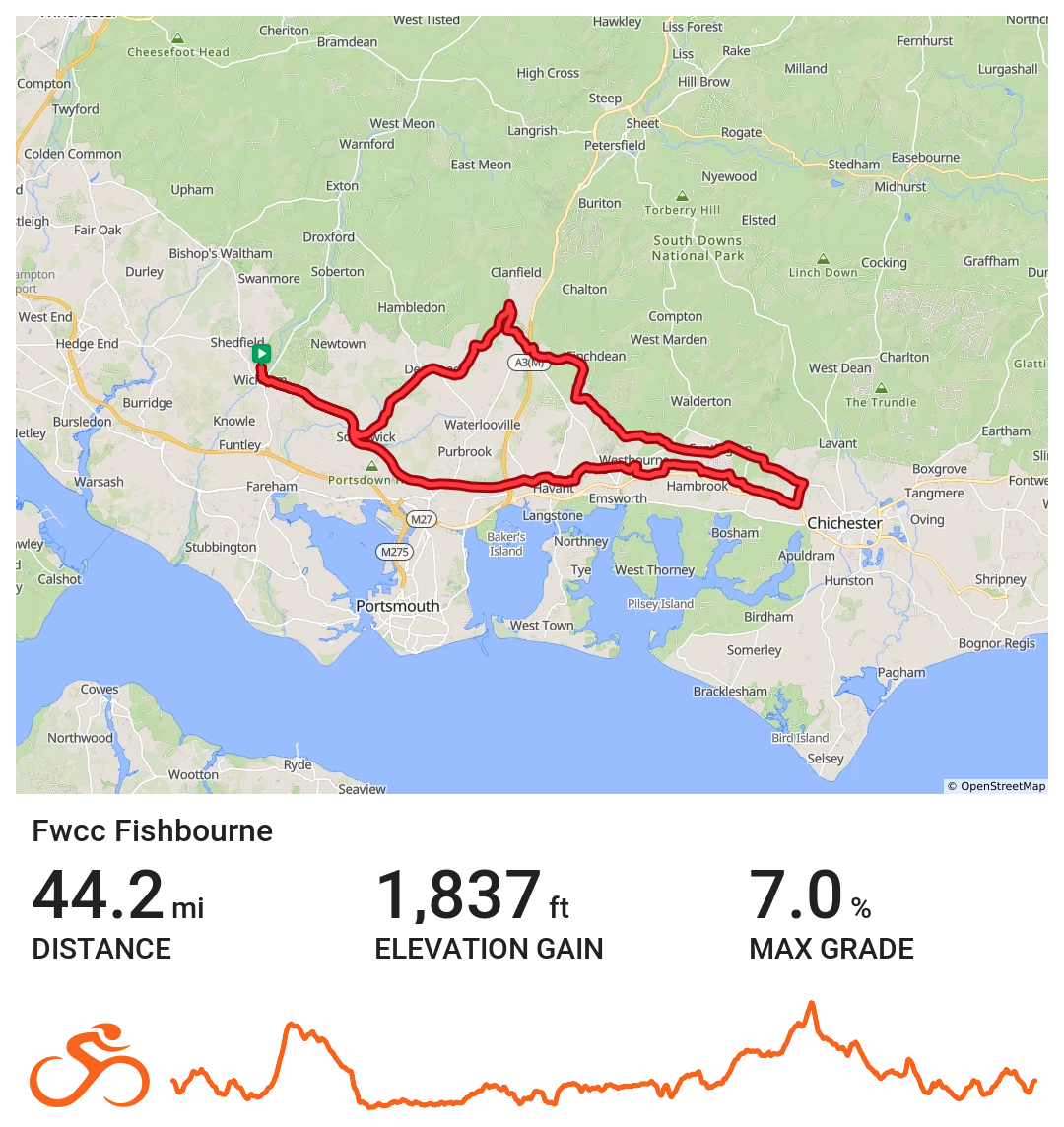
Fishbourne
Wickham / Fishbourne via Horndean, Funtingdon, Westbourne & Southwick
Distance 44.2 miles Elevation 1836 ft Route View the route Category Short Risk assessment Download risk assessment (PDF, 25 KB)
-
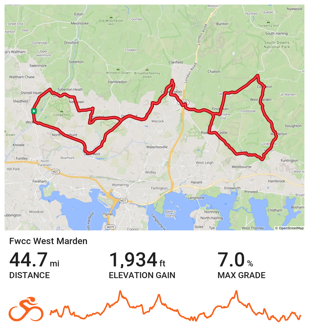
West Marden
Coffee stop at Keydells Nursery
Distance 44.7 miles Elevation 2560 ft Route View the route Category Short Risk assessment Download risk assessment (PDF, 24 KB)
-
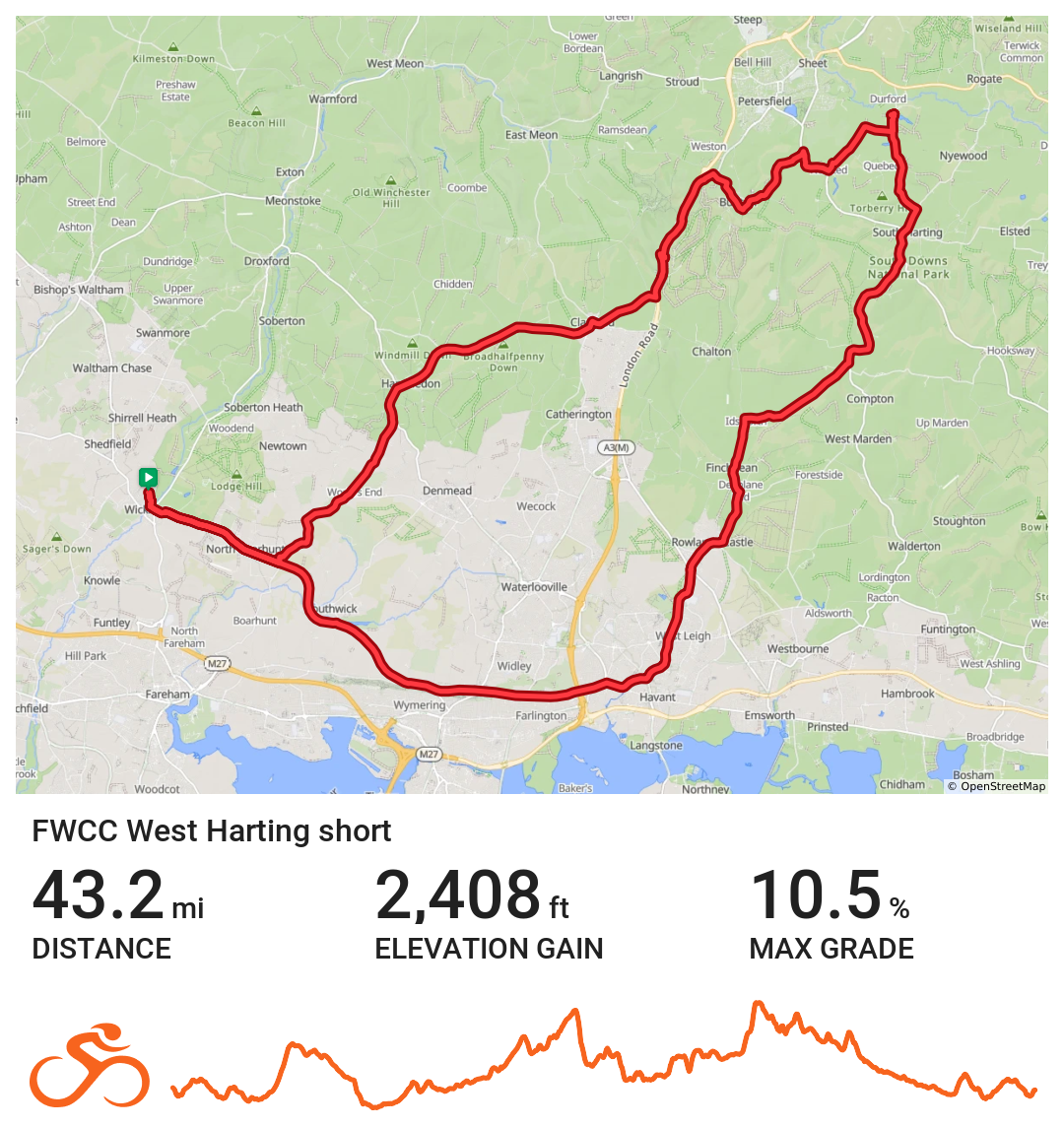
FWCC West Harting Short
Wickham via Portsdown Hill towards Rowlands Castle, coffee at Sky Park Farm. Route returns Buriton.
Distance 43.2 miles Elevation 2407 ft Route View the route Category Short Risk assessment Download risk assessment (PDF, 26 KB)
-
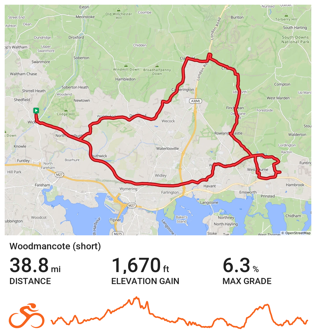
Woodmancote short
East bound with a good stop
Distance 38.8 miles Elevation 1670 ft Route View the route Category Short Risk assessment Download risk assessment (PDF, 24 KB)
-
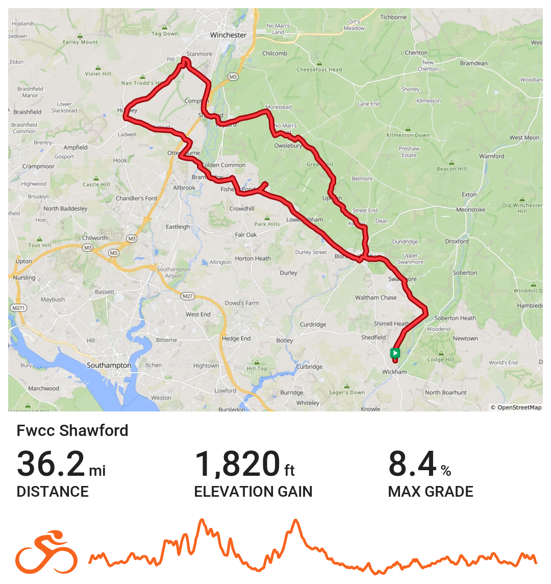
FWCC Shawford
The Route heads from Wickham to Bishops Waltham, then continues through Lower Upham, Baybridge and on to the south of Morestead. The route then heads south to Twyford and Shawford where it heads west towards Olivers Battery. Here the route heads South to Hursley then East towards Otterbourne, Brambridge, Fishers Pond. Coffee is at the Marwell Zoo Cafe.
The route then heads East back to Bishops Waltham and then on to Wickham.Distance 36.2 miles Elevation 1820 ft Route View the route Category Short Risk assessment Download risk assessment (PDF, 24 KB)
-
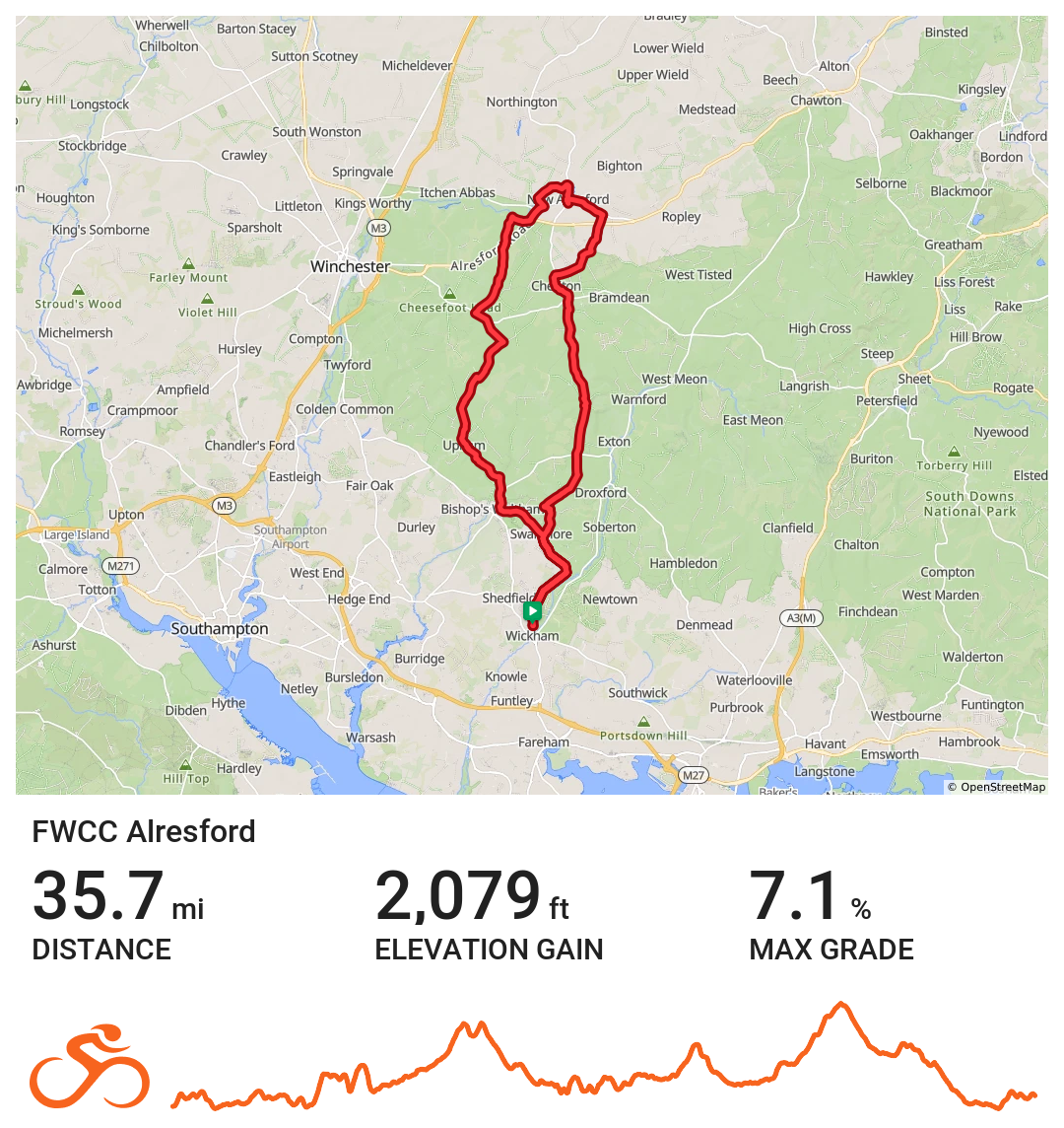
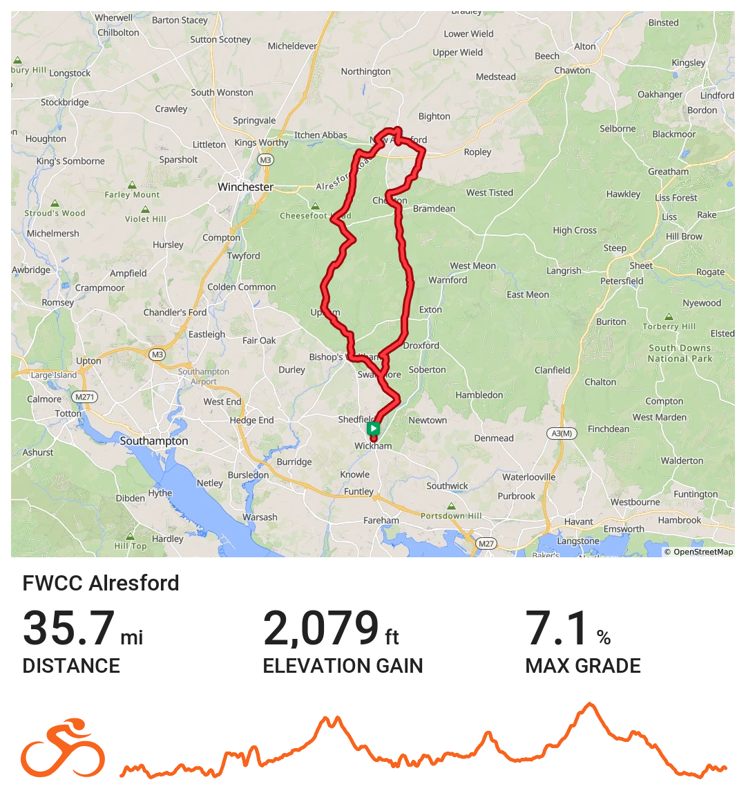
Alresford
Wickham / Alresford loop with suggested coffee stop at Josies next to the station.
Distance 35.7 miles Elevation 2079 ft Route View the route Category Short Risk assessment Download risk assessment (PDF, 25 KB)
-
Chalton
Wickham / Chalton via Clanfield, Rowlands Castle & Denmead
Distance 34.6 miles Elevation 1781 ft Route View the route Category Short Risk assessment Download risk assessment (PDF, 24 KB)
-
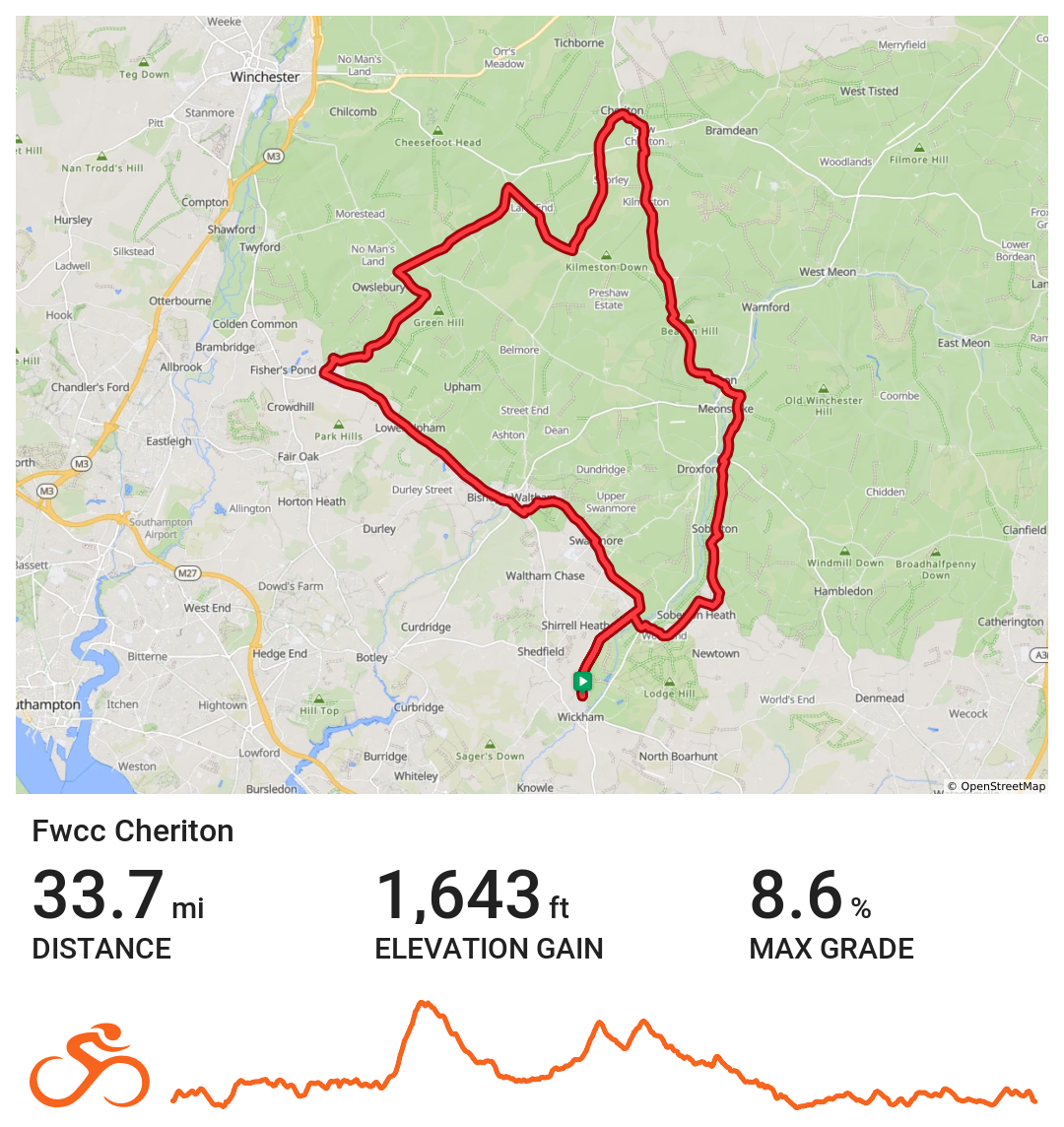
Cheriton loop
Wickham / Cheriton via Exton, Cheriton and Bishop’s Waltham
Distance 33.7 miles Elevation 1643 ft Route View the route Category Short Risk assessment Download risk assessment (PDF, 24 KB)
-
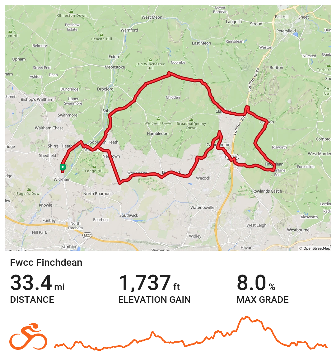
Finchdean
Wickham / Finchdean loop via Soberton, Clanfield,Catherington & Worlds End
Distance 33.3 miles Elevation 1737 ft Route View the route Category Short Risk assessment Download risk assessment (PDF, 24 KB)
-
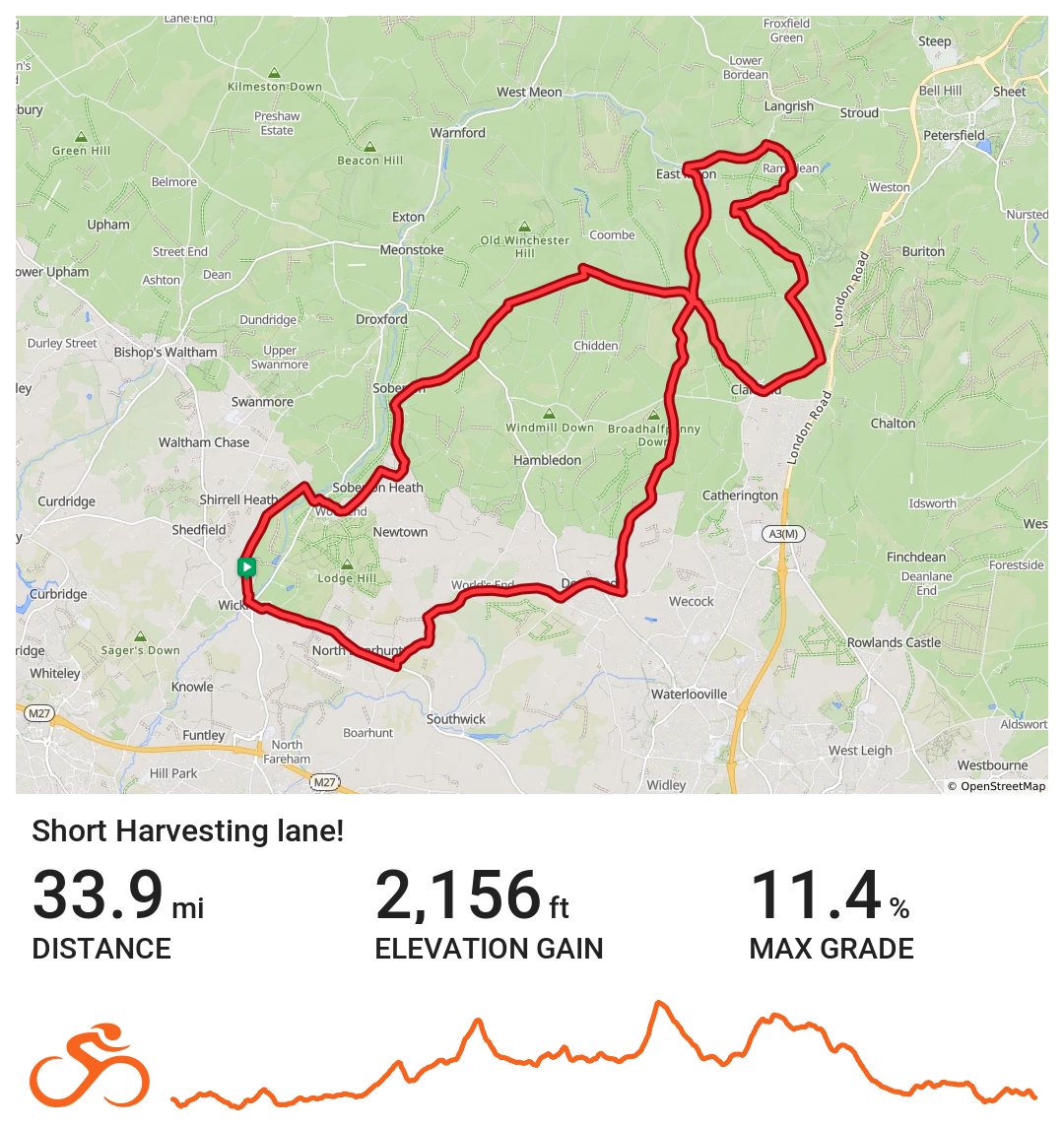
Harvesting Lane Short
Wickham / Harvesting Lane via Denmead, East Meon, Clanfield & Soberton
Distance 33.8 miles Elevation 2155 ft Route View the route Category Short Risk assessment Download risk assessment (PDF, 24 KB)