
Our routes follow the Sunday ride categories.
Short routes are shorter versions of the Long routes, intended for social riders, while Long routes suit intermediate riders. These labels describe the ride options rather than fixed distances.
Reverse routes follow an existing route in the opposite direction.
Long Plus routes are extended versions of the Long rides.
Show: All routes | Short | Long | Reverse | Longer plus
Sort by: Name (A to Z) | Distance (shortest) | Distance (longest) | Most climbing | Newest
-
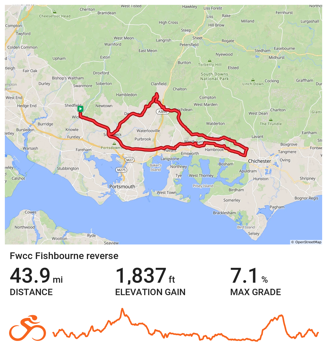
FWCC Fishbourne_Reverse
Easterly route to Fishbourne via Denmead
Distance 43.9 miles Elevation 1,837 ft Route View the route Category Reverse Risk assessment Download risk assessment (PDF, 24 KB)
-
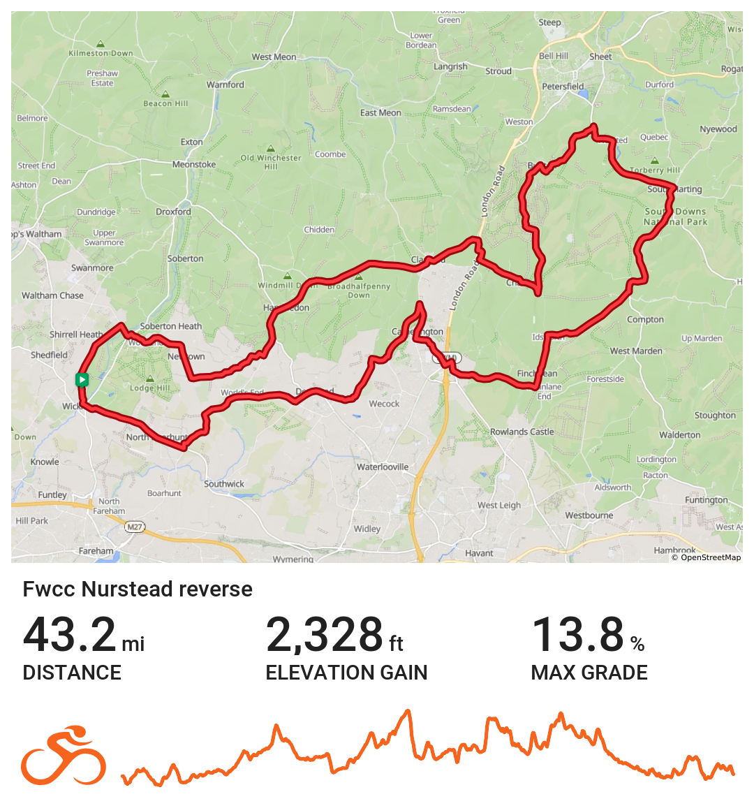
FWCC Nurstead_Reverse
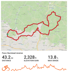
Eastern route to Nursed via Denmead
Distance 43.2 miles Elevation 2,328 ft Route View the route Category Reverse
-
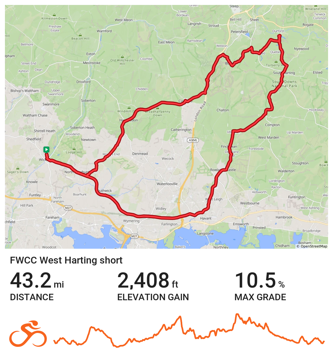
FWCC West Harting Short
Wickham via Portsdown Hill towards Rowlands Castle, coffee at Sky Park Farm. Route returns Buriton.
Distance 43.2 miles Elevation 2407 ft Route View the route Category Short Risk assessment Download risk assessment (PDF, 26 KB)
-
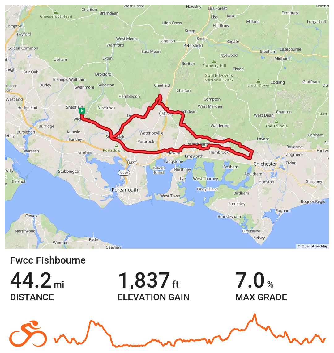
Fishbourne
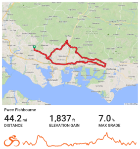
Wickham / Fishbourne via Horndean, Funtingdon, Westbourne & Southwick
Distance 44.2 miles Elevation 1836 ft Route View the route Category Short Risk assessment Download risk assessment (PDF, 25 KB)
-
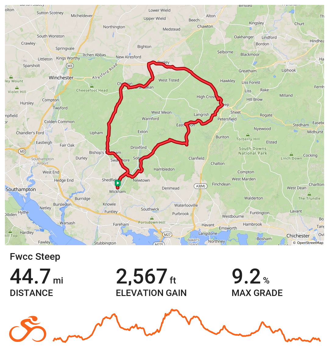
FWCC Steep
North easterly route out to Steep then across to Four Marks. From here the route circles back to wickham via Bramdean, Cheriton and Bishops Waltham.
Distance 44.7 miles Elevation 2,567 ft Route View the route Category Long Risk assessment Download risk assessment (PDF, 24 KB)
-
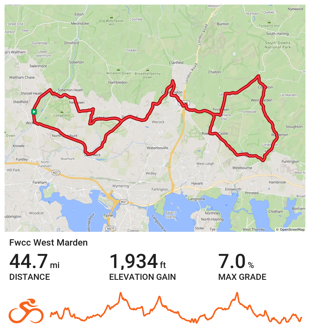
West Marden
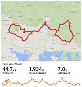
Coffee stop at Keydells Nursery
Distance 44.7 miles Elevation 2560 ft Route View the route Category Short Risk assessment Download risk assessment (PDF, 24 KB)
-
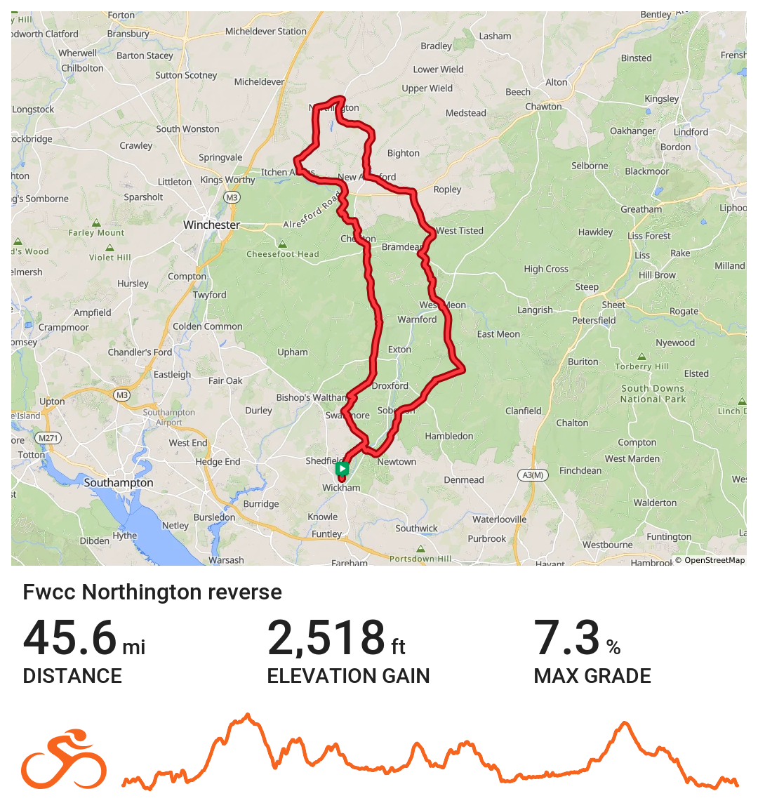
FWCC Northington_Reverse
Northern route via Soberton
Distance 45.6 miles Elevation 2,518 ft Route View the route Category Reverse Risk assessment Download risk assessment (PDF, 24 KB)
-
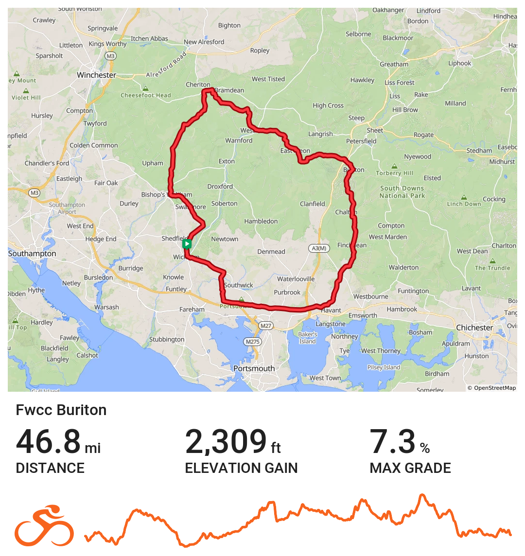
FWCC Buriton
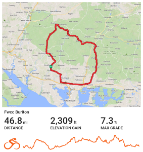
Easterly route out over Portsdown Hill and then on to Havant where you turn for Rowlands Castle, Finchdean and Buriton. From here the route heads through the Meons and on to Bramdean and Cheriton before turning for Bishops Waltham from which it is a short ride back to Wickham.
Distance 46.8 miles Elevation 2,309 ft Route View the route Category Long Risk assessment Download risk assessment (PDF, 24 KB)
-
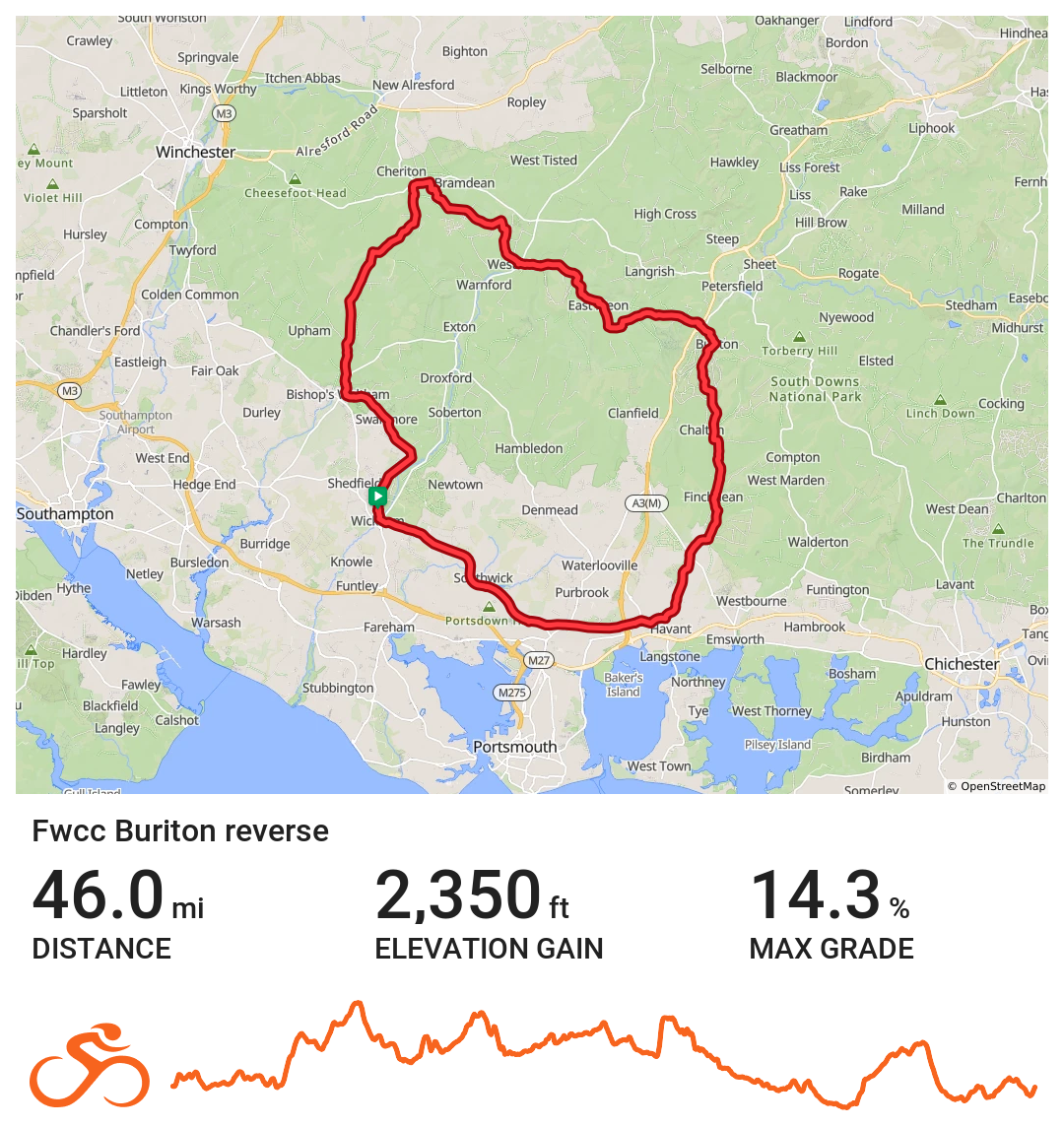
FWCC Buriton_Reverse
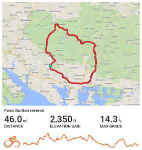
Easterly route to Buriton that firs heads out to Bramdean.
Distance 46.0 miles Elevation 2,350 ft Route View the route Category Reverse
-
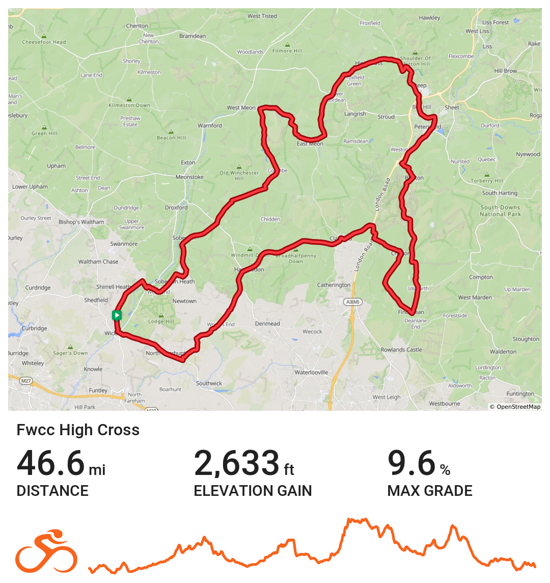
FWCC High Cross
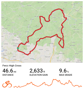
Wickham loop to High Cross via West Meon, Petersfield, Finchdean and Southwick
Distance 46.6 miles Elevation 2633 ft Route View the route Category Long