
Our routes follow the Sunday ride categories.
Short routes are shorter versions of the Long routes, intended for social riders, while Long routes suit intermediate riders. These labels describe the ride options rather than fixed distances.
Reverse routes follow an existing route in the opposite direction.
Long Plus routes are extended versions of the Long rides.
Show: All routes | Short | Long | Reverse | Longer plus
Sort by: Name (A to Z) | Distance (shortest) | Distance (longest) | Most climbing | Newest
-
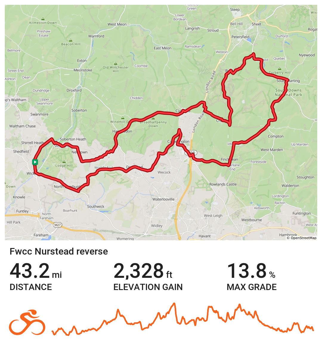
FWCC Nurstead_Reverse
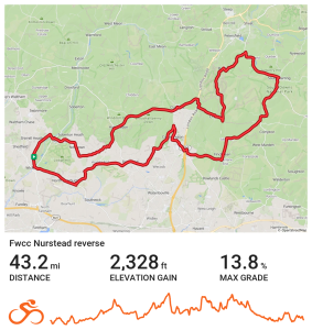
Eastern route to Nursed via Denmead
Distance 43.2 miles Elevation 2,328 ft Route View the route Category Reverse
-
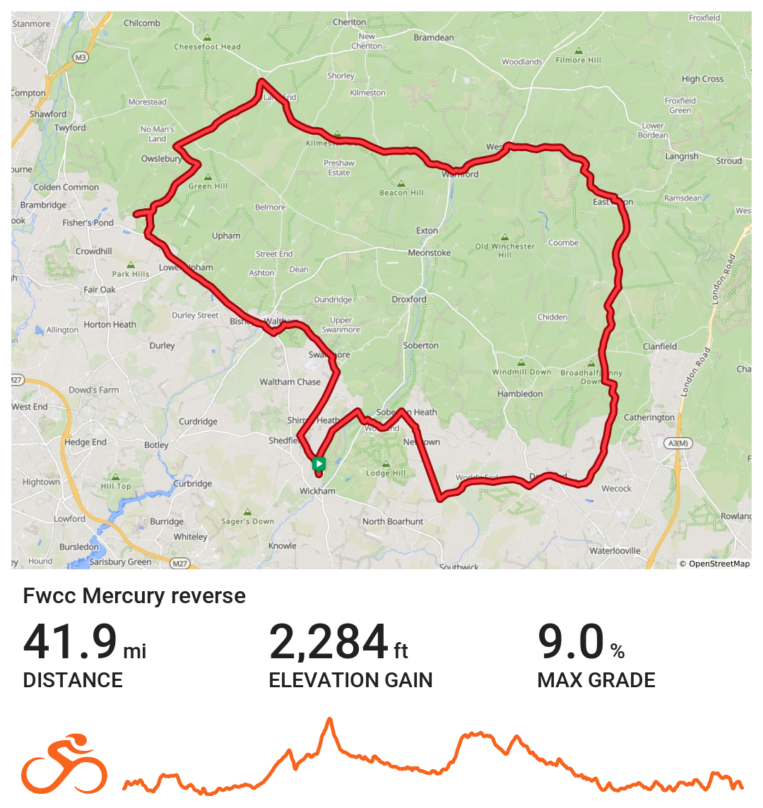
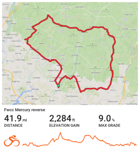
FWCC Mercury_Reverse
-
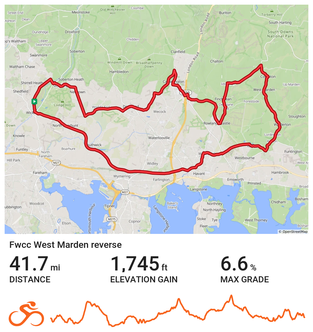
FWCC West_Marden_Reverse
Eastern route to West Marden via Portsdown Hill
Distance 41.7 miles Elevation 1,745 ft Route View the route Category Reverse Risk assessment Download risk assessment (PDF, 23 KB)
-
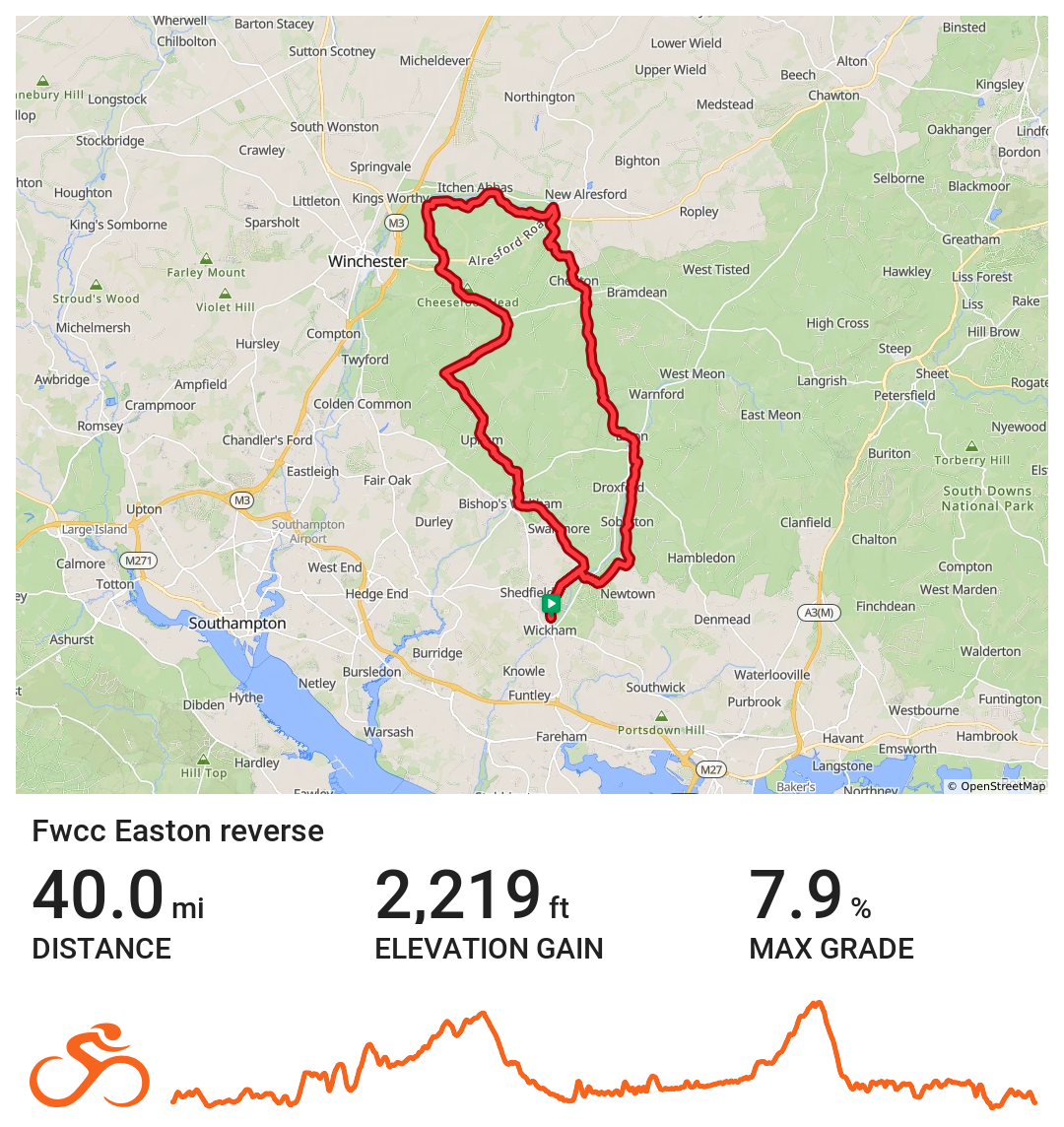
FWCC Easton_Reverse
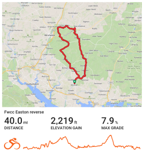
Northern route to Easton via Bishops Waltham
Distance 40.0 miles Elevation 2,219 ft Route View the route Category Reverse
-
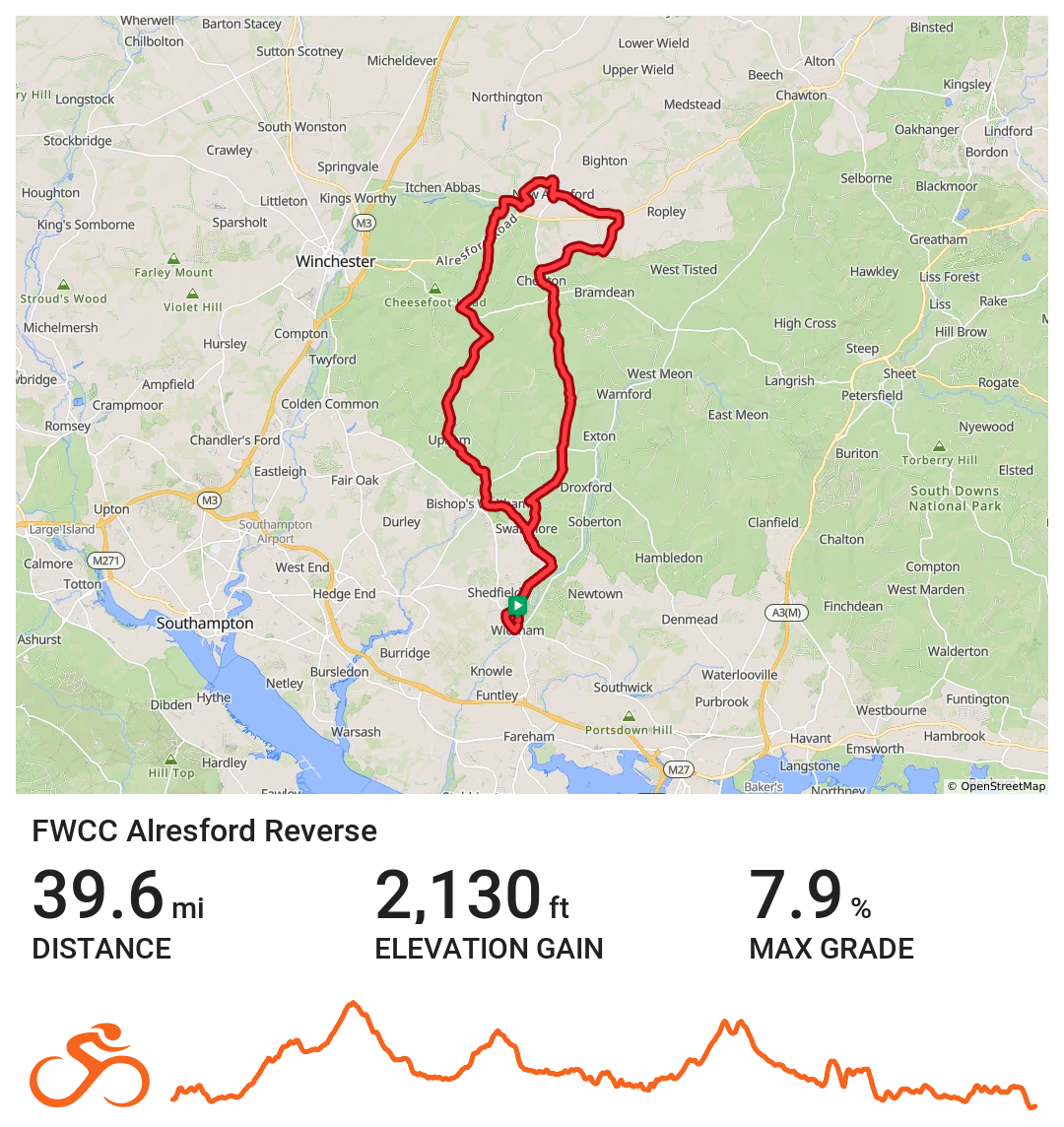
Alresford Reverse
Wickham / Alresford via Kilmeston, New Alresford and Bishop's Waltham
Distance 39.6 miles Elevation 2130 ft Route View the route Category Reverse Risk assessment Download risk assessment (PDF, 26 KB)
-
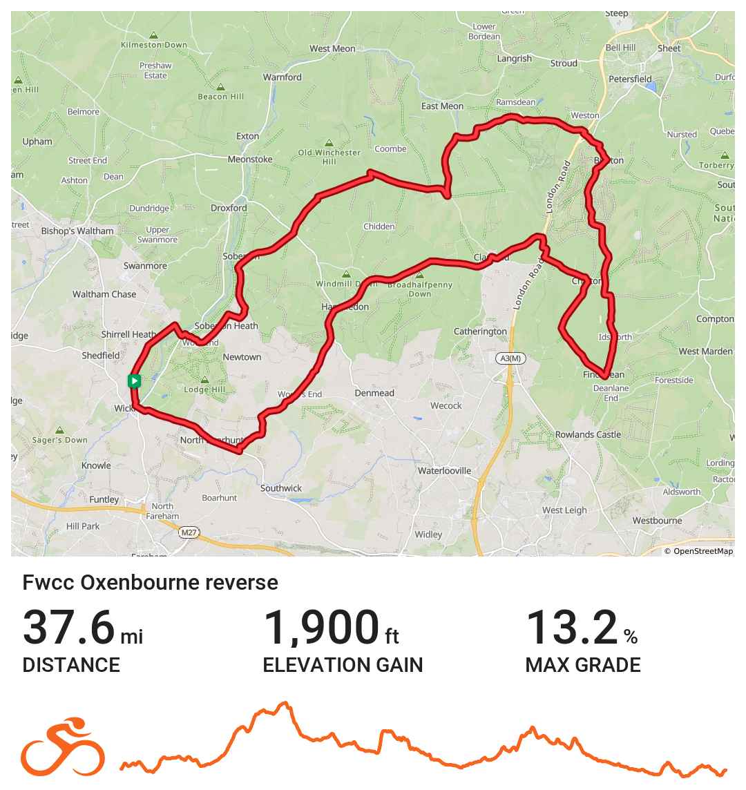
FWCC Oxenbourne Reverse
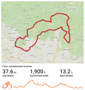
Route heads NE out of Wickham towards Soberton, then picks up Old Winchester Hill and passes The Sustainability Centre. Route then heads towards Buriton before turning S towards Idsworth & Finchdean. Route then heads W via Chalton, Horndean, Clanfield & Hambledon, where we stop at The Old Forge for coffee. Route then returns to Wickham via Worlds End & North Boarhunt.
Distance 37.6 miles Elevation 1900 ft Route View the route Category Reverse Risk assessment Download risk assessment (PDF, 24 KB)
-
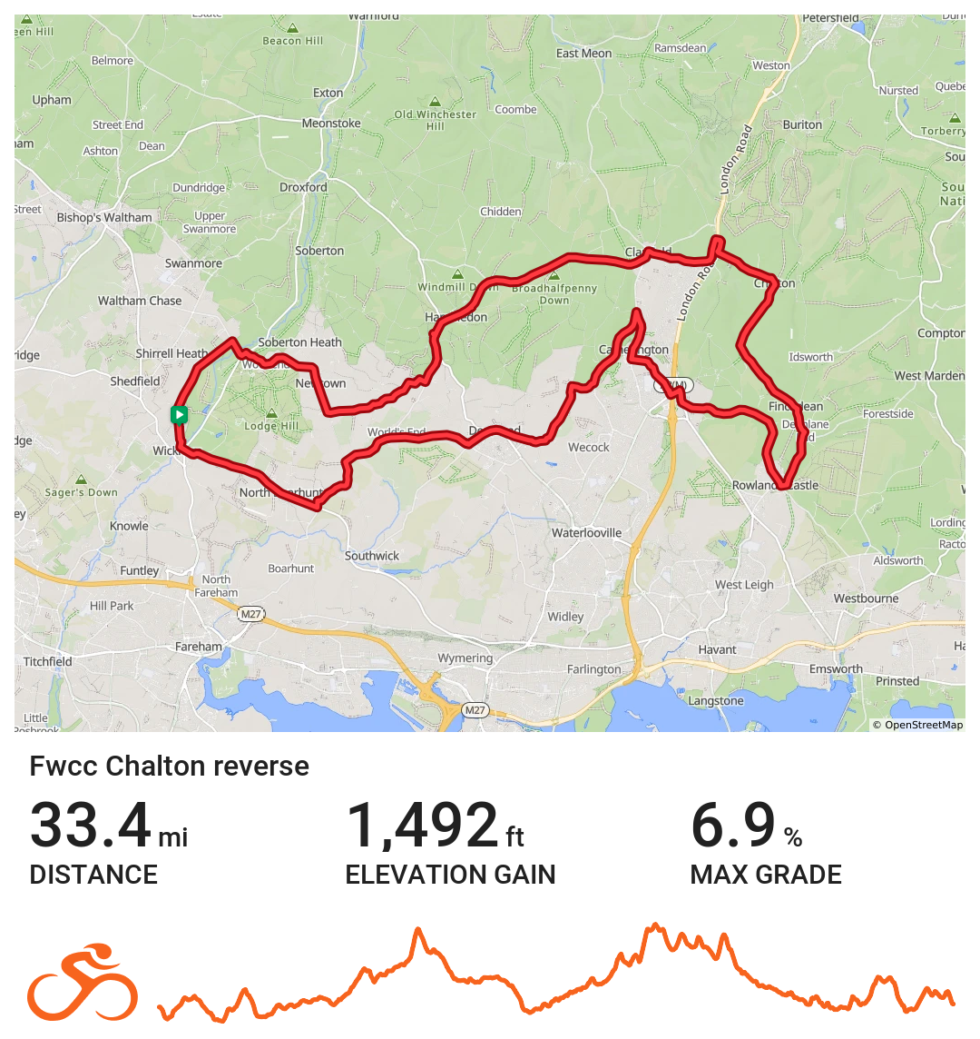
FWCC Chalton_Reverse
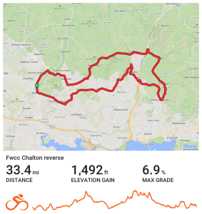
Easterly route to Chalton via Rowlands Castle
Distance 33.4 miles Elevation 1,492 ft Route View the route Category Reverse
-
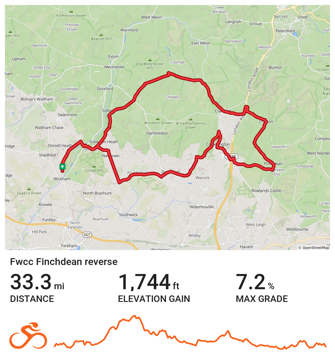
FWCC Finchdean Reverse
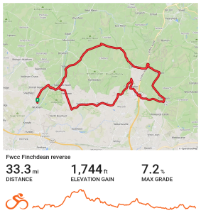
Route heads NE via Soberton before turning E and passing the Sustainability Centre, Clanfield & Chalton & onto Finchdean. Route then turns W and heads towards Horndean, with coffee at Keydell Garden Centre. Route then returns to Wickham via Catherington, Denmead & Newtown.
Distance 33.3 miles Elevation 1743 ft Route View the route Category Reverse Risk assessment Download risk assessment (PDF, 24 KB)
-
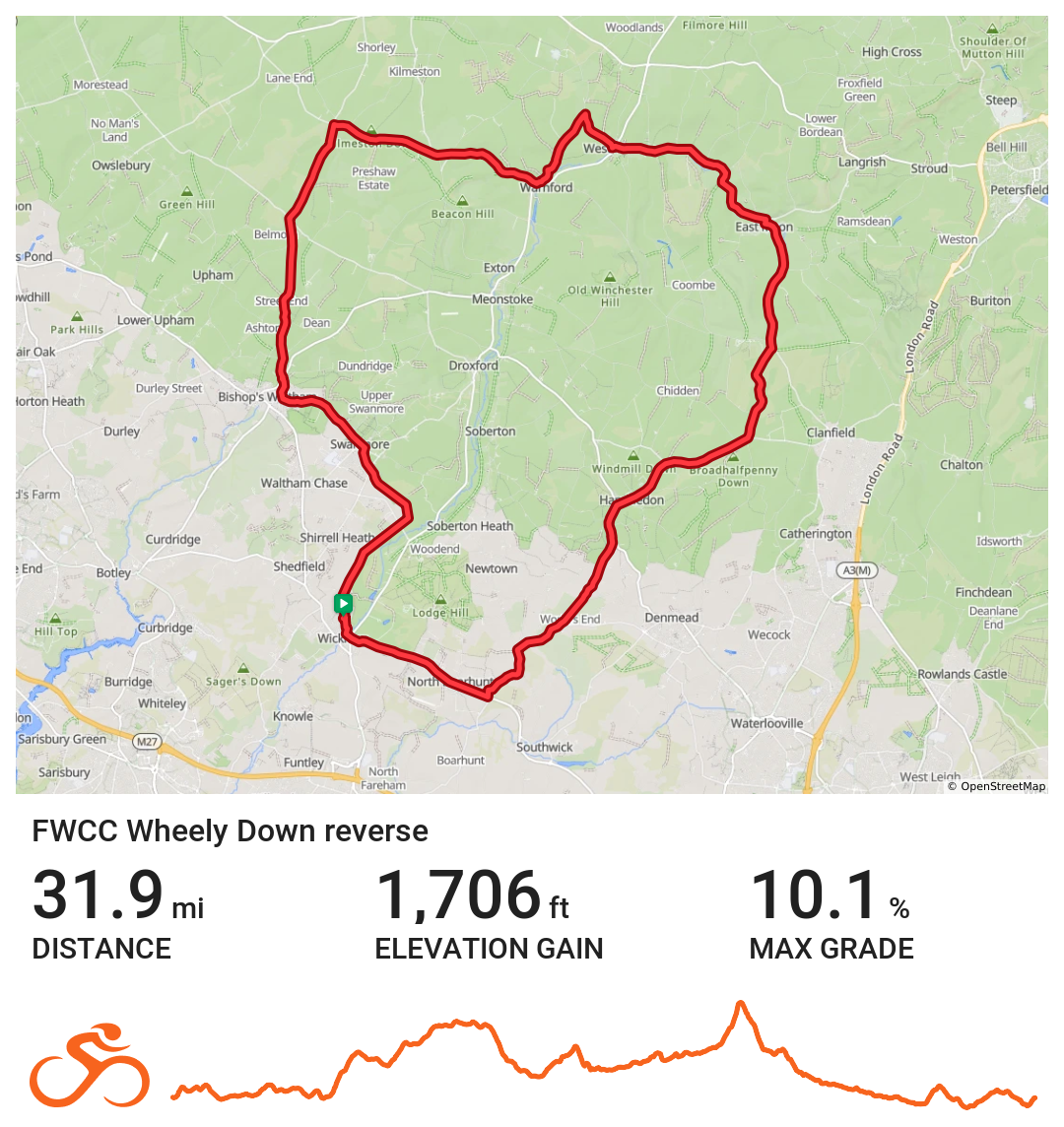
FWCC Wheely_Down_Reverse
Northern route to Wheely Down via Bishops Waltham
Distance 31.9 miles Elevation 1,706 ft Route View the route Category Reverse Risk assessment Download risk assessment (PDF, 24 KB)
-
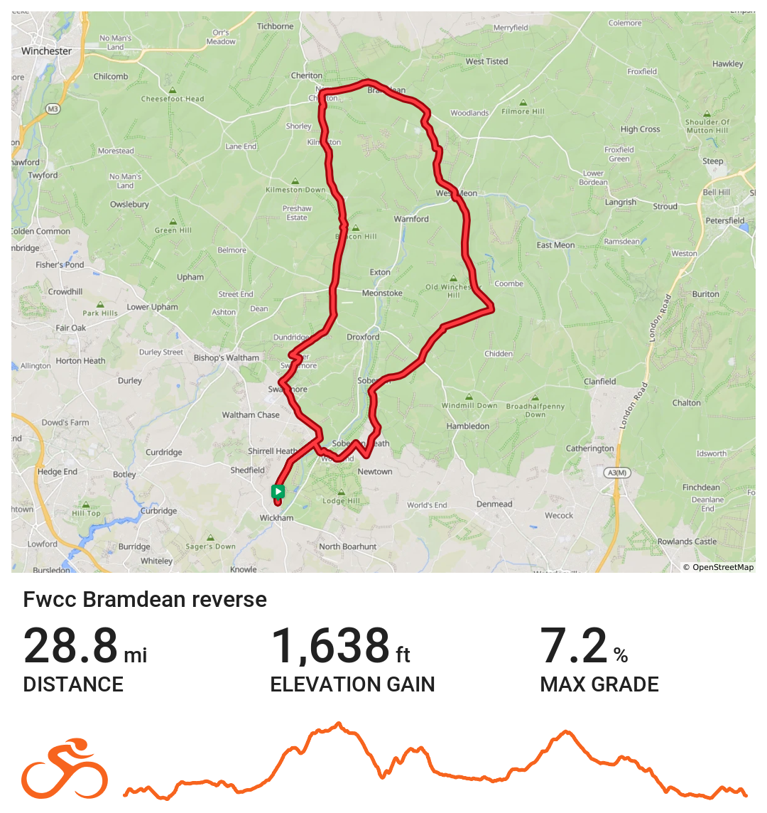
FWCC Bramdean_Reverse
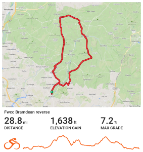
Northern route to Bramdean via Soberton
Distance 28.8 miles Elevation 1,638 ft Route View the route Category Reverse Risk assessment Download risk assessment (PDF, 23 KB)