

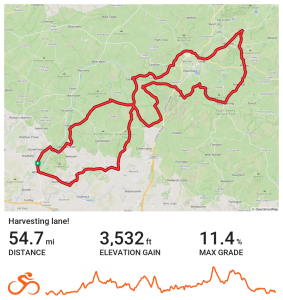
North easterly route heading out via Denmead, The Bat and Ball, East Meon, Stroud and Steep before turning at Rake. From here the route goes via Rogate, Buriton, Ramsdean and Clanfield before taking a well earned break at the Sustainability Centre for coffee. From here the route returns to Wickham via Soberton.
| Distance | 54.7 miles |
| Elevation | 3,532 ft |
| Route | View the route |
| Category | Long |
| Risk assessment | Download risk assessment (PDF, 25 KB) |